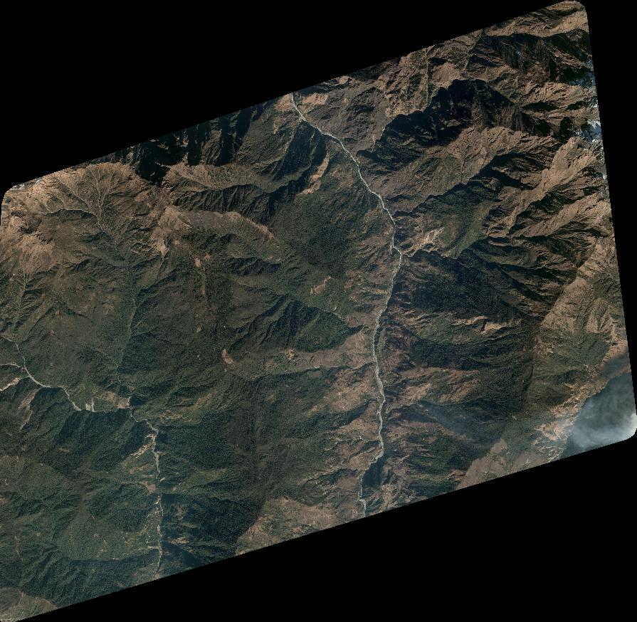
TYPE:
SYSTEM_SENSOR
LAYER:
DS_PHR1A_202301210514478_FR1_PX_E084N28_0510_01753
FORMAT:
DIMAP
RASTER:
image/tiff
General Information
Map Name
Geometric Processing Level
Radiometric Processing Level
BASIC
Image dimensions
Number of columns
9847
Number of rows
9623
Number of spectral bands
4
Dataset framing
Vertice
Longitude (DEG)
Latitude (DEG)
Row
Col
#1
84.27673249137375
28.48057881401576
1
#2
84.48084053466742
28.47891858309693
#3
84.48375526245346
28.30419720754715
#4
84.28034344956259
28.30605753762434
Dataset sources
PHR
Coordinate Reference System
Projected Coordinate System
Geocoding tables identification
EPSG(6.3)
Production
Production Date
2023-01-23T08:10:13.505
Job identification
6620391301-2
Dataset Producer Identification
AIRBUS DS GEO
Producer link
http://www.geo-airbusds.com
Quicklook
Copyright