TYPE:
SYSTEM_SENSOR
LAYER:
DS_PHR1A_202301210515093_FR1_PX_E084N28_0510_01679
FORMAT:
DIMAP
RASTER:
image/tiff
General Information
Map Name
Geometric Processing Level
Radiometric Processing Level
BASIC
Image dimensions
Number of columns
38867
Number of rows
37098
Number of spectral bands
1
Dataset framing
Vertice
Longitude (DEG)
Latitude (DEG)
Row
Col
#1
84.27258167372534
28.47288446336957
#2
84.47978446345428
28.47966729811602
#3
84.48281501955792
28.30953120838198
#4
84.27794881131572
28.3059190111469
Dataset sources
PHR
Coordinate Reference System
Projected Coordinate System
Geocoding tables identification
EPSG(6.3)
Production
Production Date
2023-01-23T08:08:03.856
Job identification
6620390301-1
Dataset Producer Identification
AIRBUS DS GEO
Producer link
http://www.geo-airbusds.com
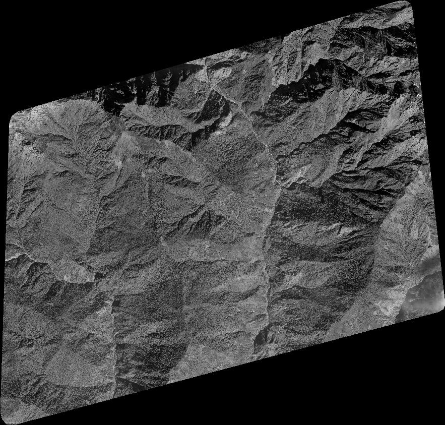
Quicklook
Copyright