TYPE:
SYSTEM_SENSOR
LAYER:
DS_PHR1A_202301210514374_FR1_PX_E084N28_0510_01765
FORMAT:
DIMAP
RASTER:
image/tiff
General Information
Map Name
Geometric Processing Level
Radiometric Processing Level
BASIC
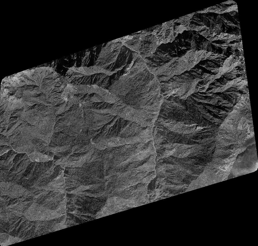
Image dimensions
Number of columns
39286
Number of rows
37566
Number of spectral bands
1
Dataset framing
Vertice
Longitude (DEG)
Latitude (DEG)
Row
Col
#1
84.27672871223695
28.48291203387105
#2
84.48130947862279
28.47878552171924
#3
84.48389093768742
28.30271108261269
#4
84.27968547360497
28.3061210266941
Dataset sources
PHR
Coordinate Reference System
Projected Coordinate System
Geocoding tables identification
EPSG(6.3)
Production
Production Date
2023-01-23T08:00:43.592
Job identification
6620389301-1
Dataset Producer Identification
AIRBUS DS GEO
Producer link
http://www.geo-airbusds.com
Quicklook
Copyright