TYPE:
SYSTEM_SENSOR
LAYER:
DS_PHR1A_202301210514374_FR1_PX_E084N28_0510_01765
FORMAT:
DIMAP
RASTER:
image/tiff
General Information
Map Name
Geometric Processing Level
Radiometric Processing Level
BASIC
Image dimensions
Number of columns
9822
Number of rows
9392
Number of spectral bands
4
Dataset framing
Vertice
Longitude (DEG)
Latitude (DEG)
Row
Col
#1
84.2767364869397
28.48290398230066
1
#2
84.48131196793118
28.47877806880811
#3
84.48389333242383
28.30270806753321
#4
84.27969307531598
28.3061174302383
Dataset sources
PHR
Coordinate Reference System
Projected Coordinate System
Geocoding tables identification
EPSG(6.3)
Production
Production Date
2023-01-23T08:01:47.754
Job identification
6620389301-2
Dataset Producer Identification
AIRBUS DS GEO
Producer link
http://www.geo-airbusds.com
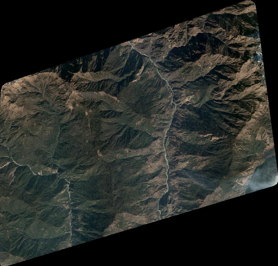
Quicklook
Copyright