TYPE:
SENSOR
LAYER:
DS_PHR1B_202301211054326_FR1_PX_E002N49_1112_01717
FORMAT:
DIMAP
RASTER:
image/jp2
General Information
Map Name
Geometric Processing Level
Radiometric Processing Level
BASIC
Image dimensions
Number of columns
29958
Number of rows
38088
Number of spectral bands
1
Dataset framing
Vertice
Longitude (DEG)
Latitude (DEG)
Row
Col
#1
2.80450101536007
49.58215022570893
#2
3.014668893995648
49.58139335497719
#3
3.014226916458532
49.40751021068436
#4
2.804921379351062
49.40819316908335
Dataset sources
PHR
Coordinate Reference System
Projected Coordinate System
Geocoding tables identification
EPSG(6.3)
Production
Production Date
2023-01-21T23:55:13.726
Job identification
6620472101-1
Dataset Producer Identification
AIRBUS DS GEO
Producer link
http://www.geo-airbusds.com
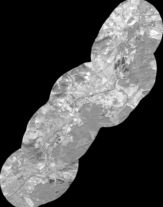
Quicklook
Copyright