TYPE:
SENSOR
LAYER:
DS_PHR1B_202301211054326_FR1_PX_E002N49_1112_01717
FORMAT:
DIMAP
RASTER:
image/jp2
General Information
Map Name
Geometric Processing Level
Radiometric Processing Level
BASIC
Image dimensions
Number of columns
7491
Number of rows
9522
Number of spectral bands
4
Dataset framing
Vertice
Longitude (DEG)
Latitude (DEG)
Row
Col
#1
2.804504092315984
49.58214151006214
1
#2
3.014692872133232
49.58137972412808
#3
3.014251257947578
49.40751202989698
#4
2.804924763877517
49.40820002057839
Dataset sources
PHR
Coordinate Reference System
Projected Coordinate System
Geocoding tables identification
EPSG(6.3)
Production
Production Date
2023-01-21T23:54:49.416
Job identification
6620472101-2
Dataset Producer Identification
AIRBUS DS GEO
Producer link
http://www.geo-airbusds.com
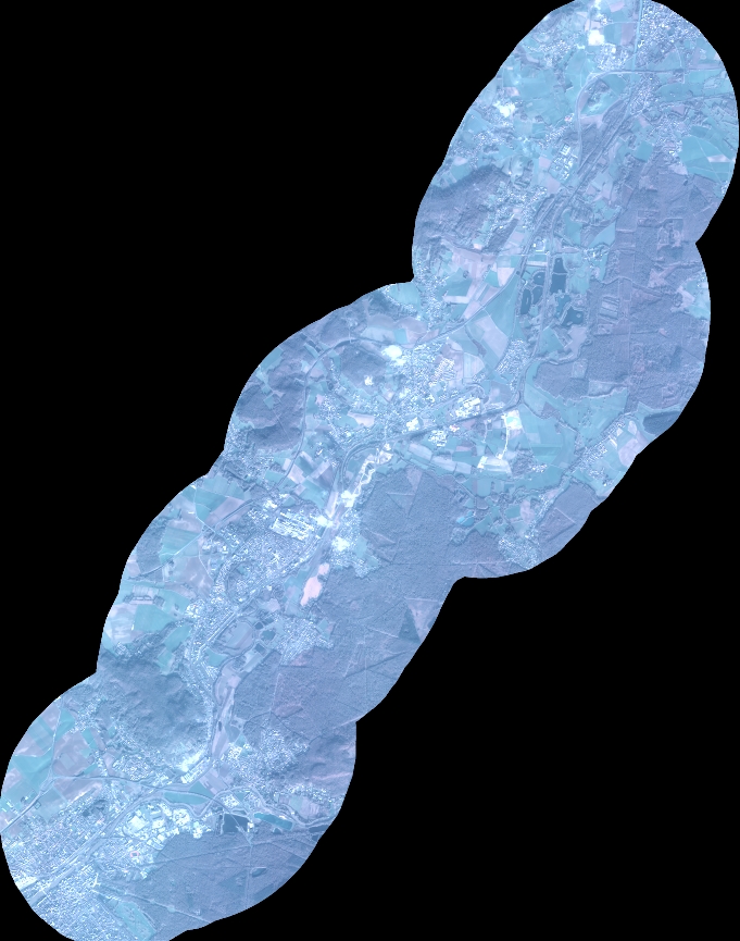
Quicklook
Copyright