TYPE:
SENSOR
LAYER:
DS_PHR1B_202301211054328_FR1_PX_E002N49_1113_01611
FORMAT:
DIMAP
RASTER:
image/jp2
General Information
Map Name
Geometric Processing Level
Radiometric Processing Level
BASIC
Image dimensions
Number of columns
34796
Number of rows
35704
Number of spectral bands
1
Dataset framing
Vertice
Longitude (DEG)
Latitude (DEG)
Row
Col
#1
2.790864352670127
49.57119660365198
#2
3.034877891945072
49.57036943564842
#3
3.034389097494413
49.40737596849422
#4
2.791290288843112
49.40816991233456
Dataset sources
PHR
Coordinate Reference System
Projected Coordinate System
Geocoding tables identification
EPSG(6.3)
Production
Production Date
2023-01-21T23:56:27.083
Job identification
6620470101-1
Dataset Producer Identification
AIRBUS DS GEO
Producer link
http://www.geo-airbusds.com
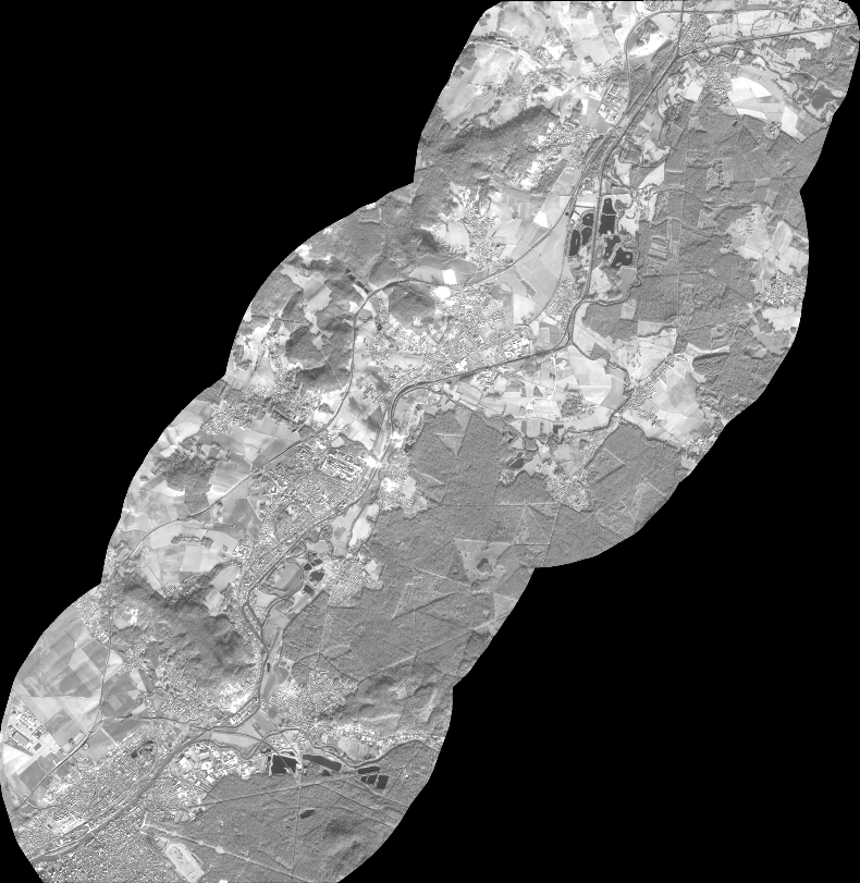
Quicklook
Copyright