TYPE:
SENSOR
LAYER:
DS_PHR1B_202301211054066_FR1_PX_E002N49_1113_01594
FORMAT:
DIMAP
RASTER:
image/jp2
General Information
Map Name
Geometric Processing Level
Radiometric Processing Level
BASIC
Image dimensions
Number of columns
34607
Number of rows
35320
Number of spectral bands
1
Dataset framing
Vertice
Longitude (DEG)
Latitude (DEG)
Row
Col
#1
2.790902329165187
49.56856757321711
#2
3.034895603734715
49.57029246826742
#3
3.034376907546976
49.40992461834621
#4
2.791339815013531
49.40767274668791
Dataset sources
PHR
Coordinate Reference System
Projected Coordinate System
Geocoding tables identification
EPSG(6.3)
Production
Production Date
2023-01-21T23:57:48.901
Job identification
6620469101-1
Dataset Producer Identification
AIRBUS DS GEO
Producer link
http://www.geo-airbusds.com
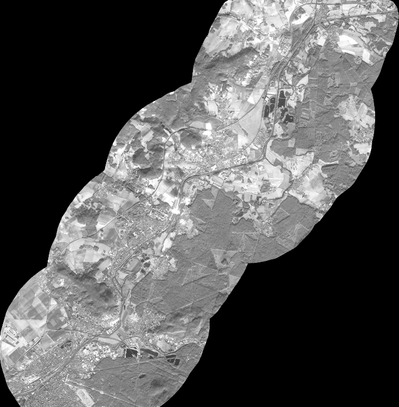
Quicklook
Copyright