TYPE:
SENSOR
LAYER:
DS_PHR1B_202301211054066_FR1_PX_E002N49_1113_01594
FORMAT:
DIMAP
RASTER:
image/jp2
General Information
Map Name
Geometric Processing Level
Radiometric Processing Level
BASIC
Image dimensions
Number of columns
8652
Number of rows
8830
Number of spectral bands
4
Dataset framing
Vertice
Longitude (DEG)
Latitude (DEG)
Row
Col
#1
2.79092497553206
49.56856781826951
1
#2
3.034904122644234
49.5702850653008
#3
3.034385243656021
49.40993294891828
#4
2.791362244373484
49.40768889374399
Dataset sources
PHR
Coordinate Reference System
Projected Coordinate System
Geocoding tables identification
EPSG(6.3)
Production
Production Date
2023-01-21T23:55:20.574
Job identification
6620469101-2
Dataset Producer Identification
AIRBUS DS GEO
Producer link
http://www.geo-airbusds.com
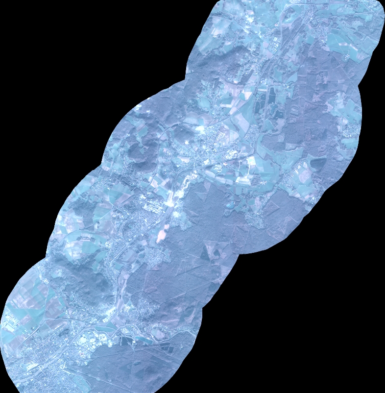
Quicklook
Copyright