TYPE:
SENSOR
LAYER:
DS_PHR1B_202301211053496_FR1_PX_E002N49_1222_06218
FORMAT:
DIMAP
RASTER:
image/jp2
General Information
Map Name
Geometric Processing Level
Radiometric Processing Level
BASIC
Image dimensions
Number of columns
37769
Number of rows
139408
Number of spectral bands
1
Dataset framing
Vertice
Longitude (DEG)
Latitude (DEG)
Row
Col
#1
2.786909469953137
50.0526040723731
#2
3.062602718070215
50.05699440215525
#3
3.062336688683993
49.40327000240543
#4
2.791905646800543
49.39634888744373
Dataset sources
PHR
Coordinate Reference System
Projected Coordinate System
Geocoding tables identification
EPSG(6.3)
Production
Production Date
2023-01-22T00:12:24.013
Job identification
6620468101-1
Dataset Producer Identification
AIRBUS DS GEO
Producer link
http://www.geo-airbusds.com
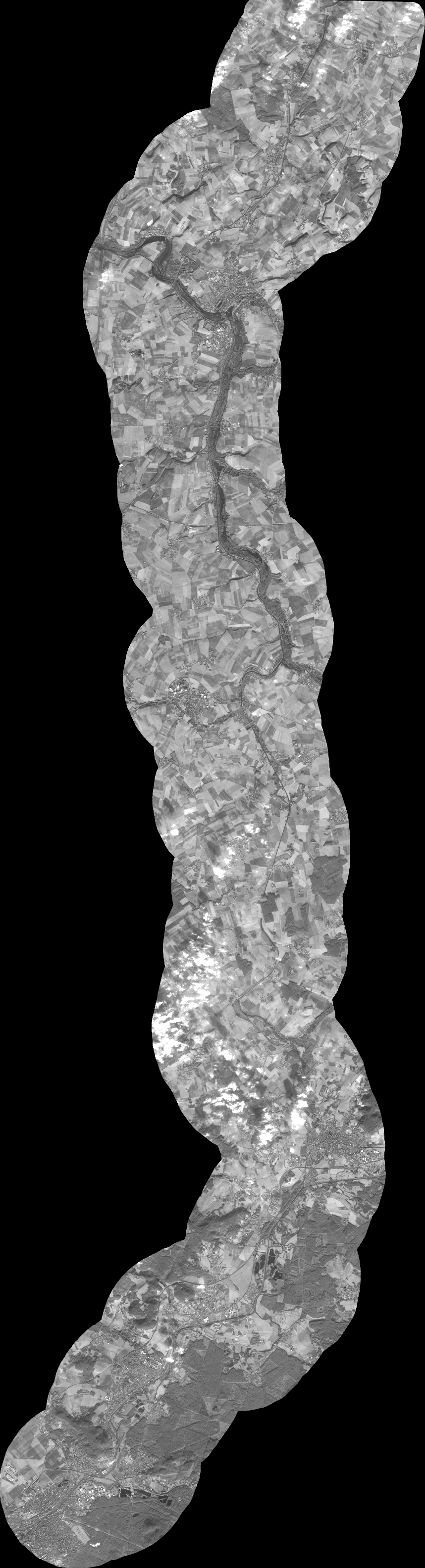
Quicklook
Copyright