TYPE:
SENSOR
LAYER:
DS_PHR1B_202301211054064_FR1_PX_E002N49_1112_01713
FORMAT:
DIMAP
RASTER:
image/jp2
General Information
Map Name
Geometric Processing Level
Radiometric Processing Level
BASIC
Image dimensions
Number of columns
29801
Number of rows
38000
Number of spectral bands
1
Dataset framing
Vertice
Longitude (DEG)
Latitude (DEG)
Row
Col
#1
2.804513434157261
49.58079613790522
#2
3.014775095048747
49.58229778919863
#3
3.014264566514203
49.40971238777823
#4
2.804952617752163
49.40776001596025
Dataset sources
PHR
Coordinate Reference System
Projected Coordinate System
Geocoding tables identification
EPSG(6.3)
Production
Production Date
2023-01-21T23:55:05.910
Job identification
6620466101-1
Dataset Producer Identification
AIRBUS DS GEO
Producer link
http://www.geo-airbusds.com
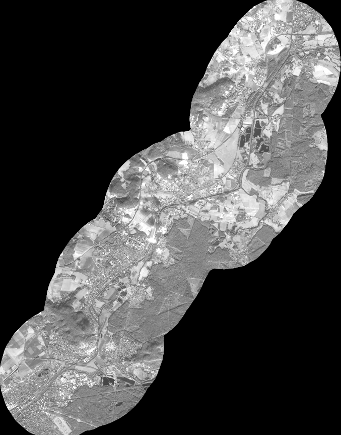
Quicklook
Copyright