TYPE:
SENSOR
LAYER:
DS_PHR1A_202301201102149_FR1_PX_E001N49_1205_00967
FORMAT:
DIMAP
RASTER:
image/jp2
General Information
Map Name
Geometric Processing Level
Radiometric Processing Level
BASIC
Image dimensions
Number of columns
37647
Number of rows
21320
Number of spectral bands
1
Dataset framing
Vertice
Longitude (DEG)
Latitude (DEG)
Row
Col
#1
1.846292034167565
49.21740218213293
#2
2.108043198467215
49.21697206004954
#3
2.107765498202244
49.11977616241786
#4
1.846486447403233
49.12024906737217
Dataset sources
PHR
Coordinate Reference System
Projected Coordinate System
Geocoding tables identification
EPSG(6.3)
Production
Production Date
2023-01-21T03:42:39.544
Job identification
6619841101-1
Dataset Producer Identification
AIRBUS DS GEO
Producer link
http://www.geo-airbusds.com
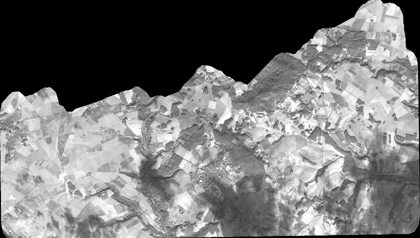
Quicklook
Copyright