TYPE:
SENSOR
LAYER:
DS_PHR1A_202301201102149_FR1_PX_E001N49_1205_00967
FORMAT:
DIMAP
RASTER:
image/jp2
General Information
Map Name
Geometric Processing Level
Radiometric Processing Level
BASIC
Image dimensions
Number of columns
9412
Number of rows
5330
Number of spectral bands
4
Dataset framing
Vertice
Longitude (DEG)
Latitude (DEG)
Row
Col
#1
1.846315262109225
49.21739554843519
1
#2
2.108052515201204
49.21696200248986
#3
2.107776211197141
49.11977862095452
#4
1.846510976715056
49.12025488079513
Dataset sources
PHR
Coordinate Reference System
Projected Coordinate System
Geocoding tables identification
EPSG(6.3)
Production
Production Date
2023-01-21T03:42:27.181
Job identification
6619841101-2
Dataset Producer Identification
AIRBUS DS GEO
Producer link
http://www.geo-airbusds.com
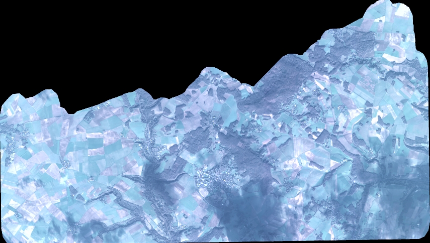
Quicklook
Copyright