TYPE:
SYSTEM_ORTHO
LAYER:
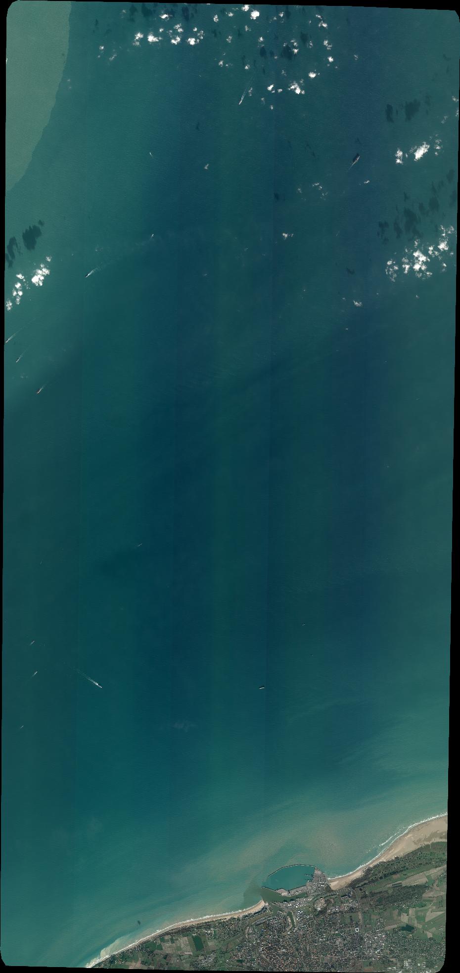
DS_PHR1B_202301191108304_FR1_PX_E001N51_1004_03611
FORMAT:
DIMAP
RASTER:
image/tiff
General Information
Map Name
Geometric Processing Level
Radiometric Processing Level
BASIC
Image dimensions
Number of columns
10233
Number of rows
21611
Number of spectral bands
4
Dataset framing
Vertice
Longitude (DEG)
Latitude (DEG)
Row
Col
#1
1.665286905795207
51.32581059856462
1
#2
1.958931270558628
51.32878891198967
#3
1.967633618793567
50.94020572458028
#4
1.676442281749748
50.93726820400852
Dataset sources
PHR
Coordinate Reference System
Projected Coordinate System
Geocoding tables identification
EPSG(6.3)
Projected Coordinate System name
32631
Projected Coordinate System code
urn:ogc:def:crs:EPSG::32631
Geoposition
Upper - Left Map X Coordinate
407003
Upper - Left Map Y Coordinate
5686903
Image sampling
2 x 2
Production
Production Date
2023-01-19T15:34:29.489
Job identification
6618761101-2
Dataset Producer Identification
AIRBUS DS GEO
Producer link
http://www.geo-airbusds.com
Quicklook
Copyright