TYPE:
SENSOR
LAYER:
DS_PHR1B_202301150510264_FR1_PX_E084N28_0409_01385
FORMAT:
DIMAP
RASTER:
image/tiff
General Information
Map Name
Geometric Processing Level
Radiometric Processing Level
BASIC
Image dimensions
Number of columns
17739
Number of rows
30574
Number of spectral bands
1
Dataset framing
Vertice
Longitude (DEG)
Latitude (DEG)
Row
Col
#1
84.21873097978649
28.43476773471642
#2
84.30838555964948
28.43470513316011
#3
84.30822670274956
28.29838981840678
#4
84.21828698031268
28.29828269024469
Dataset sources
PHR
Coordinate Reference System
Projected Coordinate System
Geocoding tables identification
EPSG(6.3)
Production
Production Date
2023-01-16T12:50:57.151
Job identification
6614932101-1
Dataset Producer Identification
AIRBUS DS GEO
Producer link
http://www.geo-airbusds.com
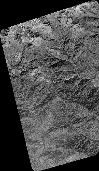
Quicklook
Copyright