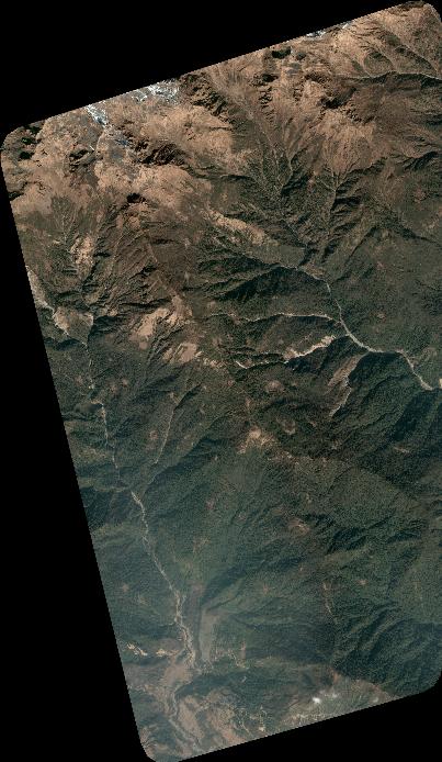
TYPE:
SENSOR
LAYER:
DS_PHR1B_202301150510264_FR1_PX_E084N28_0409_01385
FORMAT:
DIMAP
RASTER:
image/tiff
General Information
Map Name
Geometric Processing Level
Radiometric Processing Level
BASIC
Image dimensions
Number of columns
4436
Number of rows
7644
Number of spectral bands
4
Dataset framing
Vertice
Longitude (DEG)
Latitude (DEG)
Row
Col
#1
84.21873268958059
28.43475229513265
1
#2
84.30839749528667
28.43468975355722
#3
84.30823892079209
28.29837834284888
#4
84.21828888212956
28.29827110282419
Dataset sources
PHR
Coordinate Reference System
Projected Coordinate System
Geocoding tables identification
EPSG(6.3)
Production
Production Date
2023-01-16T12:50:51.458
Job identification
6614932101-2
Dataset Producer Identification
AIRBUS DS GEO
Producer link
http://www.geo-airbusds.com
Quicklook
Copyright