TYPE:
SENSOR
LAYER:
DS_PHR1B_202301150510463_FR1_PX_E084N28_0409_01364
FORMAT:
DIMAP
RASTER:
image/tiff
General Information
Map Name
Geometric Processing Level
Radiometric Processing Level
BASIC
Image dimensions
Number of columns
17436
Number of rows
30144
Number of spectral bands
1
Dataset framing
Vertice
Longitude (DEG)
Latitude (DEG)
Row
Col
#1
84.21856493137913
28.43116272761604
#2
84.30824219727542
28.43243805639473
#3
84.30910992517541
28.29777045617161
#4
84.21944760627703
28.2977081942692
Dataset sources
PHR
Coordinate Reference System
Projected Coordinate System
Geocoding tables identification
EPSG(6.3)
Production
Production Date
2023-01-16T12:52:57.537
Job identification
6614931101-1
Dataset Producer Identification
AIRBUS DS GEO
Producer link
http://www.geo-airbusds.com
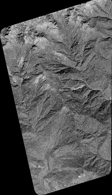
Quicklook
Copyright