TYPE:
SENSOR
LAYER:
DS_PHR1B_202301150510463_FR1_PX_E084N28_0409_01364
FORMAT:
DIMAP
RASTER:
image/tiff
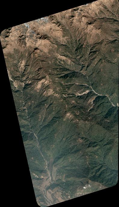
General Information
Map Name
Geometric Processing Level
Radiometric Processing Level
BASIC
Image dimensions
Number of columns
4360
Number of rows
7536
Number of spectral bands
4
Dataset framing
Vertice
Longitude (DEG)
Latitude (DEG)
Row
Col
#1
84.21857159706278
28.43115562064105
1
#2
84.30825445001329
28.43243274910485
#3
84.30912128186708
28.2977778961646
#4
84.21945370442607
28.29771509045801
Dataset sources
PHR
Coordinate Reference System
Projected Coordinate System
Geocoding tables identification
EPSG(6.3)
Production
Production Date
2023-01-16T12:54:14.220
Job identification
6614931101-2
Dataset Producer Identification
AIRBUS DS GEO
Producer link
http://www.geo-airbusds.com
Quicklook
Copyright