TYPE:
SENSOR
LAYER:
DS_PHR1B_202301150510170_FR1_PX_E084N28_0409_01385
FORMAT:
DIMAP
RASTER:
image/tiff
General Information
Map Name
Geometric Processing Level
Radiometric Processing Level
BASIC
Image dimensions
Number of columns
17698
Number of rows
29527
Number of spectral bands
1
Dataset framing
Vertice
Longitude (DEG)
Latitude (DEG)
Row
Col
#1
84.21880700324196
28.43475097064164
#2
84.30889521412395
28.4346469787096
#3
84.30825521355507
28.29907721991625
#4
84.21776676955074
28.2984450122189
Dataset sources
PHR
Coordinate Reference System
Projected Coordinate System
Geocoding tables identification
EPSG(6.3)
Production
Production Date
2023-01-16T12:52:05.431
Job identification
6614930101-1
Dataset Producer Identification
AIRBUS DS GEO
Producer link
http://www.geo-airbusds.com
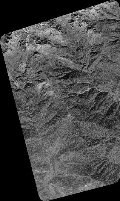
Quicklook
Copyright