TYPE:
SENSOR
LAYER:
DS_PHR1B_202301150510170_FR1_PX_E084N28_0409_01385
FORMAT:
DIMAP
RASTER:
image/tiff
General Information
Map Name
Geometric Processing Level
Radiometric Processing Level
BASIC
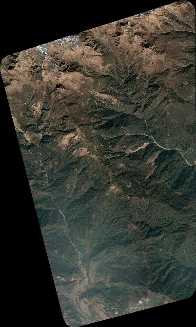
Image dimensions
Number of columns
4426
Number of rows
7382
Number of spectral bands
4
Dataset framing
Vertice
Longitude (DEG)
Latitude (DEG)
Row
Col
#1
84.21880803430842
28.43474325149842
1
#2
84.30891153566128
28.43463863764211
#3
84.30827236964819
28.2990777832675
#4
84.21776885905024
28.2984471687744
Dataset sources
PHR
Coordinate Reference System
Projected Coordinate System
Geocoding tables identification
EPSG(6.3)
Production
Production Date
2023-01-16T12:52:58.889
Job identification
6614930101-2
Dataset Producer Identification
AIRBUS DS GEO
Producer link
http://www.geo-airbusds.com
Quicklook
Copyright