TYPE:
ORTHO
LAYER:
DS_PHR1A_202301140843280_FR1_PX_E028N01_0108_01037
FORMAT:
DIMAP
RASTER:
image/tiff
General Information
Map Name
Geometric Processing Level
Radiometric Processing Level
BASIC
Image dimensions
Number of columns
10099
Number of rows
5686
Number of spectral bands
4
Dataset framing
Vertice
Longitude (DEG)
Latitude (DEG)
Row
Col
#1
27.93455242364302
1.379120892206987
1
#2
28.11607167157842
1.379042202346806
#3
28.11602554786563
1.276194446168241
#4
27.93451379862719
1.27626726546895
Dataset sources
PHR
Coordinate Reference System
Projected Coordinate System
Geocoding tables identification
EPSG(6.3)
Projected Coordinate System name
32635
Projected Coordinate System code
urn:ogc:def:crs:EPSG::32635
Geoposition
Upper - Left Map X Coordinate
603967
Upper - Left Map Y Coordinate
152455
Image sampling
2 x 2
Production
Production Date
2023-01-16T08:04:27.604
Job identification
6614520101-2
Dataset Producer Identification
AIRBUS DS GEO
Producer link
http://www.geo-airbusds.com
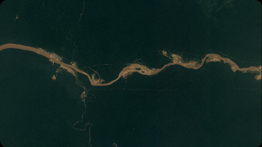
Quicklook
Copyright