TYPE:
SENSOR
LAYER:
DS_PHR1A_202301131106568_FR1_PX_W001N49_1003_01623
FORMAT:
DIMAP
RASTER:
image/jp2
General Information
Map Name
Geometric Processing Level
Radiometric Processing Level
BASIC
Image dimensions
Number of columns
8381
Number of rows
9021
Number of spectral bands
4
Dataset framing
Vertice
Longitude (DEG)
Latitude (DEG)
Row
Col
#1
-0.2994925026929893
49.1908000738912
1
#2
-0.05600275404414984
49.19159315293266
#3
-0.05662703644636063
49.01085089278959
#4
-0.2989776733248385
49.00990060715876
Dataset sources
PHR
Coordinate Reference System
Projected Coordinate System
Geocoding tables identification
EPSG(6.3)
Production
Production Date
2023-01-14T03:33:44.246
Job identification
6613820101-2
Dataset Producer Identification
AIRBUS DS GEO
Producer link
http://www.geo-airbusds.com
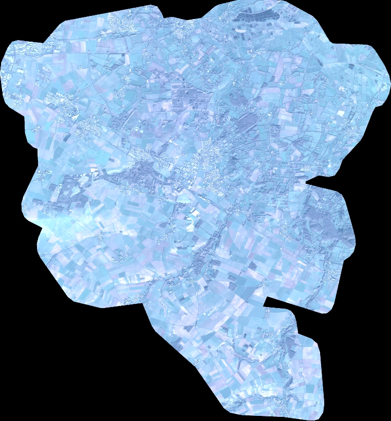
Quicklook
Copyright