TYPE:
ORTHO
LAYER:
DS_PHR1A_202301130458315_FR1_PX_E070S50_0723_00810
FORMAT:
DIMAP
RASTER:
image/tiff
General Information
Map Name
Geometric Processing Level
Radiometric Processing Level
BASIC
Image dimensions
Number of columns
19283
Number of rows
19039
Number of spectral bands
4
Dataset framing
Vertice
Longitude (DEG)
Latitude (DEG)
Row
Col
#1
70.43196229255963
-49.03746020557982
1
#2
70.56382500163605
-49.03574829762629
#3
70.56651521745057
-49.12134441295078
#4
70.43442586585412
-49.1230614619952
Dataset sources
PHR
Coordinate Reference System
Projected Coordinate System
Geocoding tables identification
EPSG(6.3)
Projected Coordinate System name
32742
Projected Coordinate System code
urn:ogc:def:crs:EPSG::32742
Geoposition
Upper - Left Map X Coordinate
604657.25
Upper - Left Map Y Coordinate
4567392.25
Image sampling
0.5 x 0.5
Production
Production Date
2023-01-13T20:30:37.452
Job identification
6613176101
Dataset Producer Identification
AIRBUS DS GEO
Producer link
http://www.geo-airbusds.com
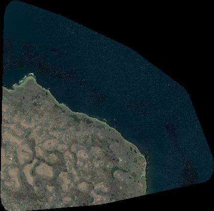
Quicklook
Copyright