TYPE:
SENSOR
LAYER:
DS_PHR1A_202301101041261_FR1_PX_E005N43_0412_00926
FORMAT:
DIMAP
RASTER:
image/jp2
General Information
Map Name
Geometric Processing Level
Radiometric Processing Level
BASIC
Image dimensions
Number of columns
6847
Number of rows
5099
Number of spectral bands
4
Dataset framing
Vertice
Longitude (DEG)
Latitude (DEG)
Row
Col
#1
5.247047090297821
43.52050213439421
1
#2
5.416887068584876
43.52067909805232
#3
5.416771894772101
43.42949731124891
#4
5.247175723801535
43.42942558334783
Dataset sources
PHR
Coordinate Reference System
Projected Coordinate System
Geocoding tables identification
EPSG(6.3)
Production
Production Date
2023-01-11T04:56:30.057
Job identification
6611077101-2
Dataset Producer Identification
AIRBUS DS GEO
Producer link
http://www.geo-airbusds.com
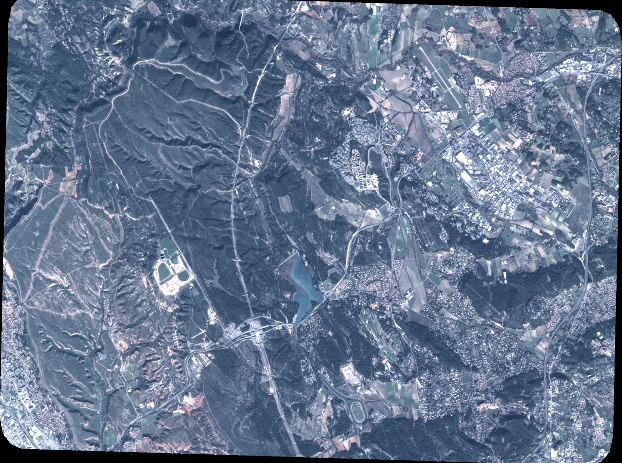
Quicklook
Copyright