TYPE:
SENSOR
LAYER:
DS_PHR1A_202301101041184_FR1_PX_E005N43_0214_00856
FORMAT:
DIMAP
RASTER:
image/jp2
General Information
Map Name
Geometric Processing Level
Radiometric Processing Level
BASIC
Image dimensions
Number of columns
35847
Number of rows
18820
Number of spectral bands
1
Dataset framing
Vertice
Longitude (DEG)
Latitude (DEG)
Row
Col
#1
4.974158800052973
43.62303713200048
#2
5.19646322828854
43.62300005833505
#3
5.196273973720286
43.53904739672996
#4
4.974282957587915
43.53908987278638
Dataset sources
PHR
Coordinate Reference System
Projected Coordinate System
Geocoding tables identification
EPSG(6.3)
Production
Production Date
2023-01-11T04:57:14.012
Job identification
6611076101-1
Dataset Producer Identification
AIRBUS DS GEO
Producer link
http://www.geo-airbusds.com
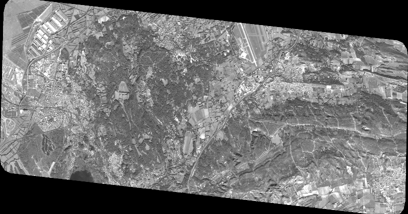
Quicklook
Copyright