TYPE:
SENSOR
LAYER:
DS_PHR1A_202301101425486_FR1_PX_W070S53_0518_00781
FORMAT:
DIMAP
RASTER:
image/tiff
General Information
Map Name
Geometric Processing Level
Radiometric Processing Level
BASIC
Image dimensions
Number of columns
18462
Number of rows
17132
Number of spectral bands
1
Dataset framing
Vertice
Longitude (DEG)
Latitude (DEG)
Row
Col
#1
-69.71474144642887
-52.2516767163948
#2
-69.57393888877495
-52.25108082246143
#3
-69.57386588721364
-52.33183068093744
#4
-69.71494744134897
-52.33233882150693
Dataset sources
PHR
Coordinate Reference System
Projected Coordinate System
Geocoding tables identification
EPSG(6.3)
Production
Production Date
2023-01-11T04:55:05.683
Job identification
6611074101-1
Dataset Producer Identification
AIRBUS DS GEO
Producer link
http://www.geo-airbusds.com
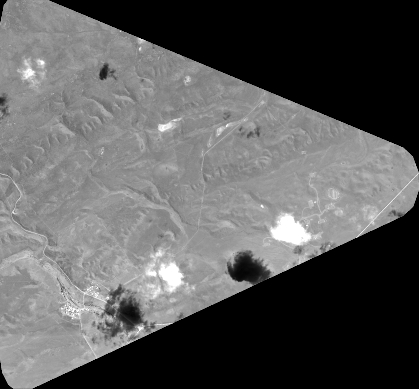
Quicklook
Copyright