TYPE:
SENSOR
LAYER:
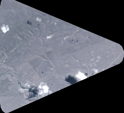
DS_PHR1A_202301101425048_FR1_PX_W070S53_0518_00762
FORMAT:
DIMAP
RASTER:
image/tiff
General Information
Map Name
Geometric Processing Level
Radiometric Processing Level
BASIC
Image dimensions
Number of columns
4548
Number of rows
4173
Number of spectral bands
4
Dataset framing
Vertice
Longitude (DEG)
Latitude (DEG)
Row
Col
#1
-69.71469467497717
-52.25195963317577
1
#2
-69.57375895227045
-52.25008791331815
#3
-69.57380764229434
-52.33094253434346
#4
-69.71502465409179
-52.33297014786323
Dataset sources
PHR
Coordinate Reference System
Projected Coordinate System
Geocoding tables identification
EPSG(6.3)
Production
Production Date
2023-01-11T04:53:58.443
Job identification
6611073101-2
Dataset Producer Identification
AIRBUS DS GEO
Producer link
http://www.geo-airbusds.com
Quicklook
Copyright