TYPE:
SENSOR
LAYER:
DS_PHR1A_202301101041411_FR1_PX_E005N43_0309_00774
FORMAT:
DIMAP
RASTER:
image/jp2
General Information
Map Name
Geometric Processing Level
Radiometric Processing Level
BASIC
Image dimensions
Number of columns
33484
Number of rows
16976
Number of spectral bands
1
Dataset framing
Vertice
Longitude (DEG)
Latitude (DEG)
Row
Col
#1
5.101919871581165
43.40583030557507
#2
5.312462036045059
43.40748053553672
#3
5.312486141685869
43.3295256266613
#4
5.102004735389688
43.32777213683963
Dataset sources
PHR
Coordinate Reference System
Projected Coordinate System
Geocoding tables identification
EPSG(6.3)
Production
Production Date
2023-01-11T01:12:15.443
Job identification
6610923101-1
Dataset Producer Identification
AIRBUS DS GEO
Producer link
http://www.geo-airbusds.com
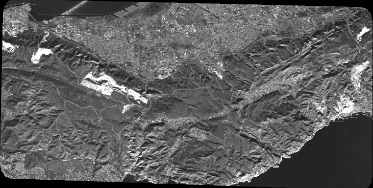
Quicklook
Copyright