TYPE:
SENSOR
LAYER:
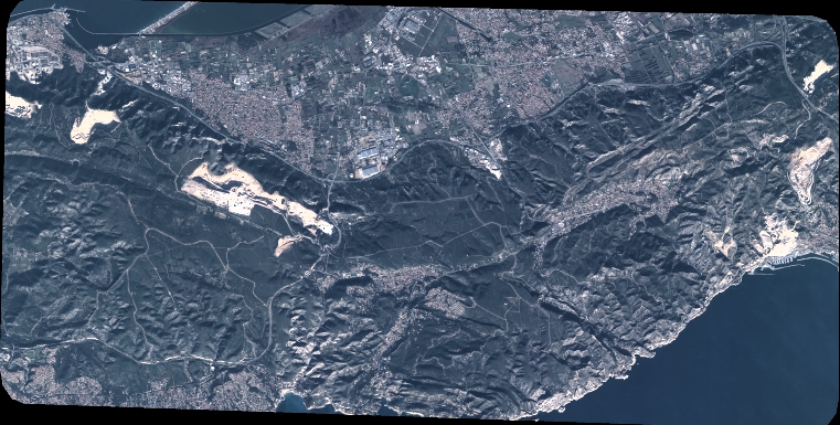
DS_PHR1A_202301101041411_FR1_PX_E005N43_0309_00774
FORMAT:
DIMAP
RASTER:
image/jp2
General Information
Map Name
Geometric Processing Level
Radiometric Processing Level
BASIC
Image dimensions
Number of columns
8372
Number of rows
4244
Number of spectral bands
4
Dataset framing
Vertice
Longitude (DEG)
Latitude (DEG)
Row
Col
#1
5.101924238115524
43.40582388193631
1
#2
5.312472332542912
43.40747243458004
#3
5.312496144193545
43.32953241160556
#4
5.102008417305181
43.32777999554026
Dataset sources
PHR
Coordinate Reference System
Projected Coordinate System
Geocoding tables identification
EPSG(6.3)
Production
Production Date
2023-01-11T01:12:04.306
Job identification
6610923101-2
Dataset Producer Identification
AIRBUS DS GEO
Producer link
http://www.geo-airbusds.com
Quicklook
Copyright