TYPE:
SENSOR
LAYER:
DS_PHR1A_202301101041095_FR1_PX_E005N43_0309_00767
FORMAT:
DIMAP
RASTER:
image/jp2
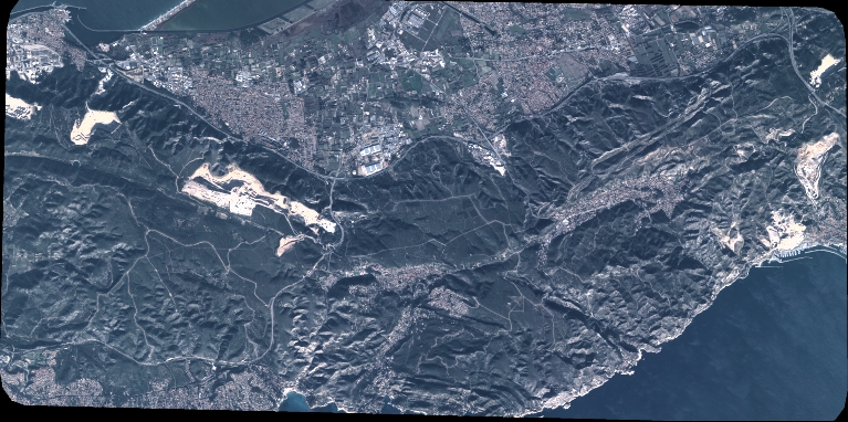
General Information
Map Name
Geometric Processing Level
Radiometric Processing Level
BASIC
Image dimensions
Number of columns
8441
Number of rows
4204
Number of spectral bands
4
Dataset framing
Vertice
Longitude (DEG)
Latitude (DEG)
Row
Col
#1
5.101838207133428
43.40537925089152
1
#2
5.312641649315212
43.4059191210036
#3
5.312494848439906
43.32908755269962
#4
5.101974273962031
43.32878539342682
Dataset sources
PHR
Coordinate Reference System
Projected Coordinate System
Geocoding tables identification
EPSG(6.3)
Production
Production Date
2023-01-11T01:13:19.893
Job identification
6610922101-2
Dataset Producer Identification
AIRBUS DS GEO
Producer link
http://www.geo-airbusds.com
Quicklook
Copyright