TYPE:
SENSOR
LAYER:
DS_PHR1B_202301041036508_FR1_PX_E005N43_1007_00864
FORMAT:
DIMAP
RASTER:
image/jp2
General Information
Map Name
Geometric Processing Level
Radiometric Processing Level
BASIC
Image dimensions
Number of columns
31218
Number of rows
18787
Number of spectral bands
1
Dataset framing
Vertice
Longitude (DEG)
Latitude (DEG)
Row
Col
#1
5.677763582122918
43.31748141346437
#2
5.873092976192972
43.31895744978177
#3
5.872676227517411
43.2327785884118
#4
5.677525396458717
43.23101910948863
Dataset sources
PHR
Coordinate Reference System
Projected Coordinate System
Geocoding tables identification
EPSG(6.3)
Production
Production Date
2023-01-04T23:21:30.848
Job identification
6605812101-1
Dataset Producer Identification
AIRBUS DS GEO
Producer link
http://www.geo-airbusds.com
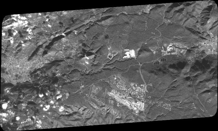
Quicklook
Copyright