TYPE:
SENSOR
LAYER:
DS_PHR1B_202301041036508_FR1_PX_E005N43_1007_00864
FORMAT:
DIMAP
RASTER:
image/jp2
General Information
Map Name
Geometric Processing Level
Radiometric Processing Level
BASIC
Image dimensions
Number of columns
7805
Number of rows
4697
Number of spectral bands
4
Dataset framing
Vertice
Longitude (DEG)
Latitude (DEG)
Row
Col
#1
5.677782965753345
43.31747240251111
1
#2
5.87310687282104
43.31895125967844
#3
5.872690440865199
43.23277924823577
#4
5.677545973021592
43.23101853556698
Dataset sources
PHR
Coordinate Reference System
Projected Coordinate System
Geocoding tables identification
EPSG(6.3)
Production
Production Date
2023-01-04T23:21:02.819
Job identification
6605812101-2
Dataset Producer Identification
AIRBUS DS GEO
Producer link
http://www.geo-airbusds.com
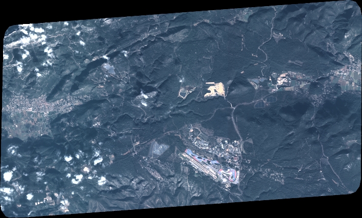
Quicklook
Copyright