TYPE:
SENSOR
LAYER:
DS_PHR1B_202301012020229_FR1_PX_W150S18_0810_01774
FORMAT:
DIMAP
RASTER:
image/tiff
General Information
Map Name
Geometric Processing Level
Radiometric Processing Level
BASIC
Image dimensions
Number of columns
33892
Number of rows
39102
Number of spectral bands
1
Dataset framing
Vertice
Longitude (DEG)
Latitude (DEG)
Row
Col
#1
-149.4607688852144
-17.5009197865332
#2
-149.2943253317499
-17.49578036918616
#3
-149.2941217696542
-17.6793700179849
#4
-149.461974942663
-17.68488850942753
Dataset sources
PHR
Coordinate Reference System
Projected Coordinate System
Geocoding tables identification
EPSG(6.3)
Production
Production Date
2023-01-02T13:20:04.746
Job identification
6603712101-1
Dataset Producer Identification
AIRBUS DS GEO
Producer link
http://www.geo-airbusds.com
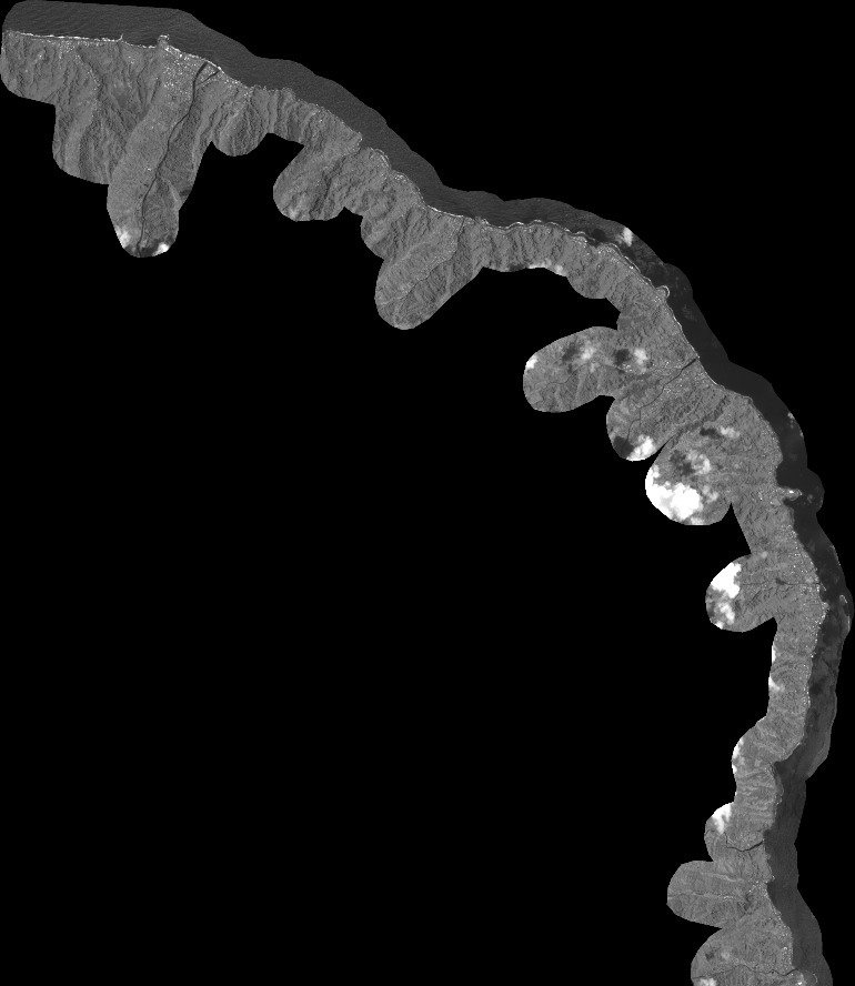
Quicklook
Copyright