TYPE:
SENSOR
LAYER:
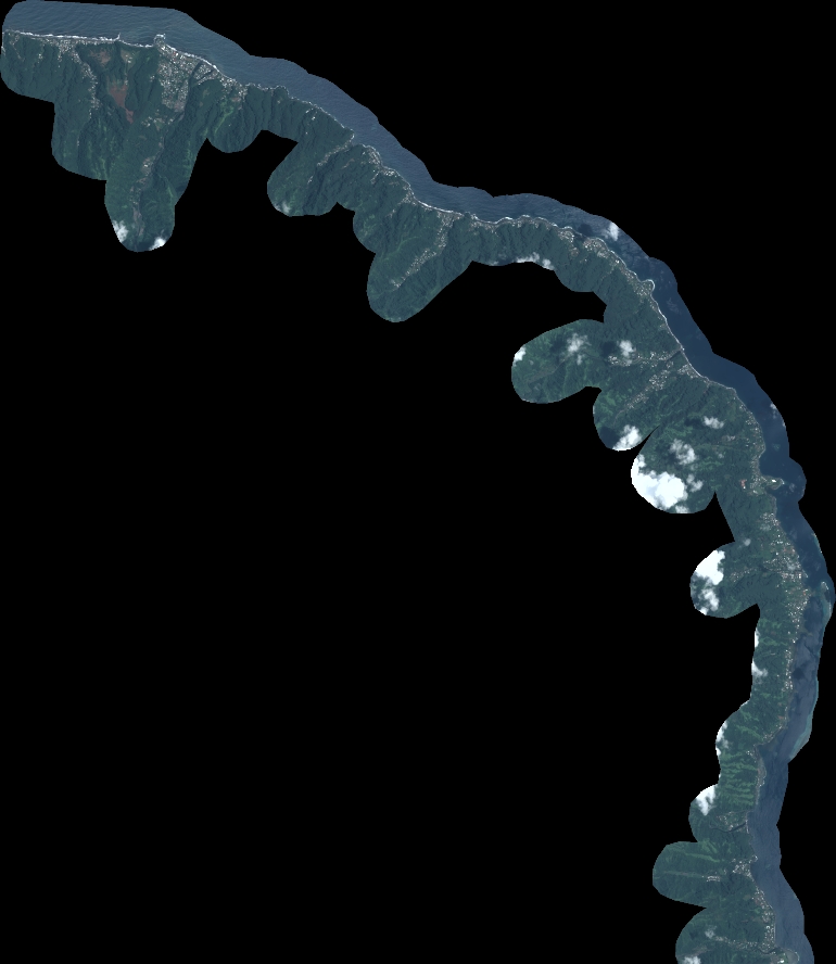
DS_PHR1B_202301012020229_FR1_PX_W150S18_0810_01774
FORMAT:
DIMAP
RASTER:
image/tiff
General Information
Map Name
Geometric Processing Level
Radiometric Processing Level
BASIC
Image dimensions
Number of columns
8474
Number of rows
9775
Number of spectral bands
4
Dataset framing
Vertice
Longitude (DEG)
Latitude (DEG)
Row
Col
#1
-149.4607664409651
-17.50093607981241
1
#2
-149.2943178681353
-17.49579656242689
#3
-149.2941143491136
-17.67936277011788
#4
-149.4619726593994
-17.68488161751579
Dataset sources
PHR
Coordinate Reference System
Projected Coordinate System
Geocoding tables identification
EPSG(6.3)
Production
Production Date
2023-01-02T13:18:08.280
Job identification
6603712101-2
Dataset Producer Identification
AIRBUS DS GEO
Producer link
http://www.geo-airbusds.com
Quicklook
Copyright