TYPE:
SENSOR
LAYER:
DS_PHR1B_202301012020022_FR1_PX_W150S18_0810_01779
FORMAT:
DIMAP
RASTER:
image/tiff
General Information
Map Name
Geometric Processing Level
Radiometric Processing Level
BASIC
Image dimensions
Number of columns
34851
Number of rows
39484
Number of spectral bands
1
Dataset framing
Vertice
Longitude (DEG)
Latitude (DEG)
Row
Col
#1
-149.4608244703211
-17.50099253011678
#2
-149.2942815968619
-17.5013090399685
#3
-149.2940738496635
-17.67979744754594
#4
-149.4617804552174
-17.67874921810022
Dataset sources
PHR
Coordinate Reference System
Projected Coordinate System
Geocoding tables identification
EPSG(6.3)
Production
Production Date
2023-01-02T13:19:50.418
Job identification
6603713101-1
Dataset Producer Identification
AIRBUS DS GEO
Producer link
http://www.geo-airbusds.com
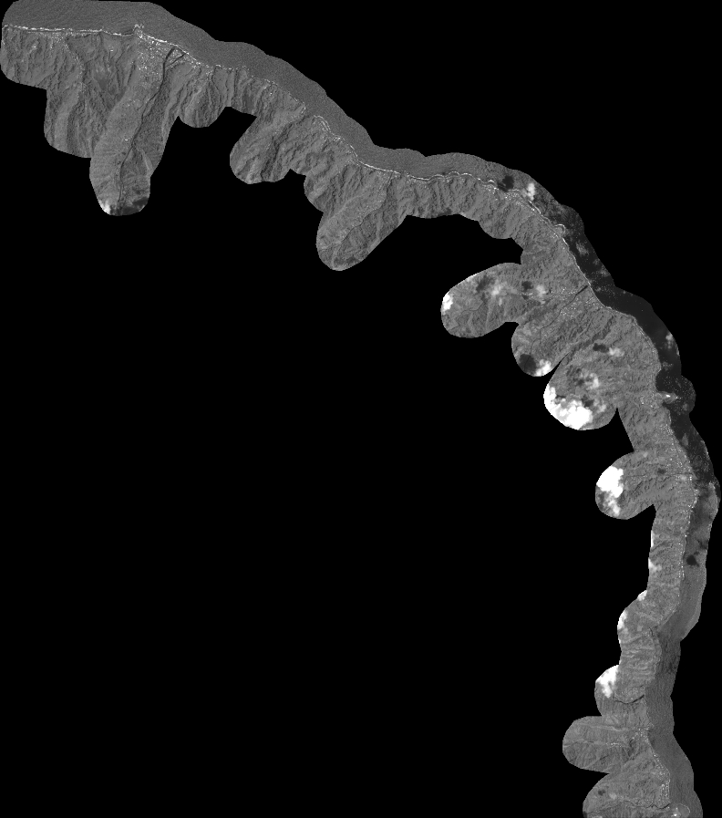
Quicklook
Copyright