TYPE:
SENSOR
LAYER:
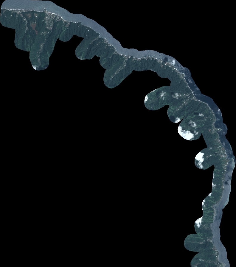
DS_PHR1B_202301012020022_FR1_PX_W150S18_0810_01779
FORMAT:
DIMAP
RASTER:
image/tiff
General Information
Map Name
Geometric Processing Level
Radiometric Processing Level
BASIC
Image dimensions
Number of columns
8714
Number of rows
9871
Number of spectral bands
4
Dataset framing
Vertice
Longitude (DEG)
Latitude (DEG)
Row
Col
#1
-149.4608220783926
-17.5009992974442
1
#2
-149.2942695948306
-17.50131584069026
#3
-149.2940618187358
-17.67979071741298
#4
-149.4617781362882
-17.67874243369569
Dataset sources
PHR
Coordinate Reference System
Projected Coordinate System
Geocoding tables identification
EPSG(6.3)
Production
Production Date
2023-01-02T13:41:08.756
Job identification
6603713101-2
Dataset Producer Identification
AIRBUS DS GEO
Producer link
http://www.geo-airbusds.com
Quicklook
Copyright