TYPE:
SENSOR
LAYER:
DS_PHR1B_202212281039541_FR1_PX_E006N45_0517_01872
FORMAT:
DIMAP
RASTER:
image/jp2
General Information
Map Name
Geometric Processing Level
Radiometric Processing Level
BASIC
Image dimensions
Number of columns
28484
Number of rows
40918
Number of spectral bands
1
Dataset framing
Vertice
Longitude (DEG)
Latitude (DEG)
Row
Col
#1
6.263055914069426
45.77784860251019
#2
6.452688845226557
45.77936915744652
#3
6.452464794983443
45.58106596356427
#4
6.263274970960031
45.58038420466298
Dataset sources
PHR
Coordinate Reference System
Projected Coordinate System
Geocoding tables identification
EPSG(6.3)
Production
Production Date
2022-12-28T23:29:02.173
Job identification
6601463101-1
Dataset Producer Identification
AIRBUS DS GEO
Producer link
http://www.geo-airbusds.com
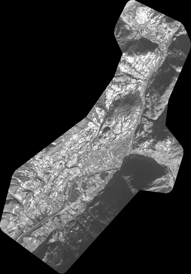
Quicklook
Copyright