TYPE:
SENSOR
LAYER:
DS_PHR1B_202212281039541_FR1_PX_E006N45_0517_01872
FORMAT:
DIMAP
RASTER:
image/jp2
General Information
Map Name
Geometric Processing Level
Radiometric Processing Level
BASIC
Image dimensions
Number of columns
7122
Number of rows
10230
Number of spectral bands
4
Dataset framing
Vertice
Longitude (DEG)
Latitude (DEG)
Row
Col
#1
6.263066175091057
45.77784249193594
1
#2
6.452705768011086
45.7793608430115
#3
6.452480756924956
45.58106538241727
#4
6.263284302793677
45.58038669950566
Dataset sources
PHR
Coordinate Reference System
Projected Coordinate System
Geocoding tables identification
EPSG(6.3)
Production
Production Date
2022-12-28T23:28:46.227
Job identification
6601463101-2
Dataset Producer Identification
AIRBUS DS GEO
Producer link
http://www.geo-airbusds.com
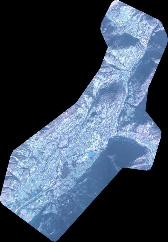
Quicklook
Copyright