TYPE:
SENSOR
LAYER:
DS_PHR1B_202212281040464_FR1_PX_E005N43_0916_01865
FORMAT:
DIMAP
RASTER:
image/jp2
General Information
Map Name
Geometric Processing Level
Radiometric Processing Level
BASIC
Image dimensions
Number of columns
33273
Number of rows
41419
Number of spectral bands
1
Dataset framing
Vertice
Longitude (DEG)
Latitude (DEG)
Row
Col
#1
5.570428808925729
43.41424103228728
#2
5.778151994509174
43.41353769449515
#3
5.778287017201533
43.22404027309304
#4
5.570840868616402
43.22516595004917
Dataset sources
PHR
Coordinate Reference System
Projected Coordinate System
Geocoding tables identification
EPSG(6.3)
Production
Production Date
2022-12-28T23:31:06.025
Job identification
6601464101-1
Dataset Producer Identification
AIRBUS DS GEO
Producer link
http://www.geo-airbusds.com
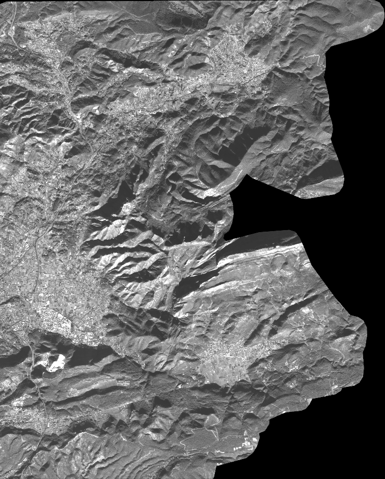
Quicklook
Copyright