TYPE:
SENSOR
LAYER:
DS_PHR1B_202212281040464_FR1_PX_E005N43_0916_01865
FORMAT:
DIMAP
RASTER:
image/jp2
General Information
Map Name
Geometric Processing Level
Radiometric Processing Level
BASIC
Image dimensions
Number of columns
8319
Number of rows
10355
Number of spectral bands
4
Dataset framing
Vertice
Longitude (DEG)
Latitude (DEG)
Row
Col
#1
5.570436980181161
43.41424002857517
1
#2
5.778160129851495
43.41353581856063
#3
5.778295754004118
43.22404501574305
#4
5.570849575173112
43.22517165224152
Dataset sources
PHR
Coordinate Reference System
Projected Coordinate System
Geocoding tables identification
EPSG(6.3)
Production
Production Date
2022-12-28T23:30:32.044
Job identification
6601464101-2
Dataset Producer Identification
AIRBUS DS GEO
Producer link
http://www.geo-airbusds.com
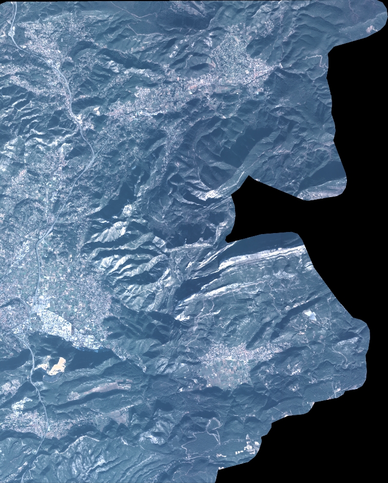
Quicklook
Copyright