TYPE:
SENSOR
LAYER:
DS_PHR1B_202212281040082_FR1_PX_E005N45_1220_02160
FORMAT:
DIMAP
RASTER:
image/jp2
General Information
Map Name
Geometric Processing Level
Radiometric Processing Level
BASIC
Image dimensions
Number of columns
25745
Number of rows
48024
Number of spectral bands
1
Dataset framing
Vertice
Longitude (DEG)
Latitude (DEG)
Row
Col
#1
5.844959035601467
45.73535375445589
#2
6.012129376226494
45.73612008224092
#3
6.01210157119774
45.51743427933869
#4
5.845741672392983
45.51719256962657
Dataset sources
PHR
Coordinate Reference System
Projected Coordinate System
Geocoding tables identification
EPSG(6.3)
Production
Production Date
2022-12-28T23:31:44.456
Job identification
6601462101-1
Dataset Producer Identification
AIRBUS DS GEO
Producer link
http://www.geo-airbusds.com
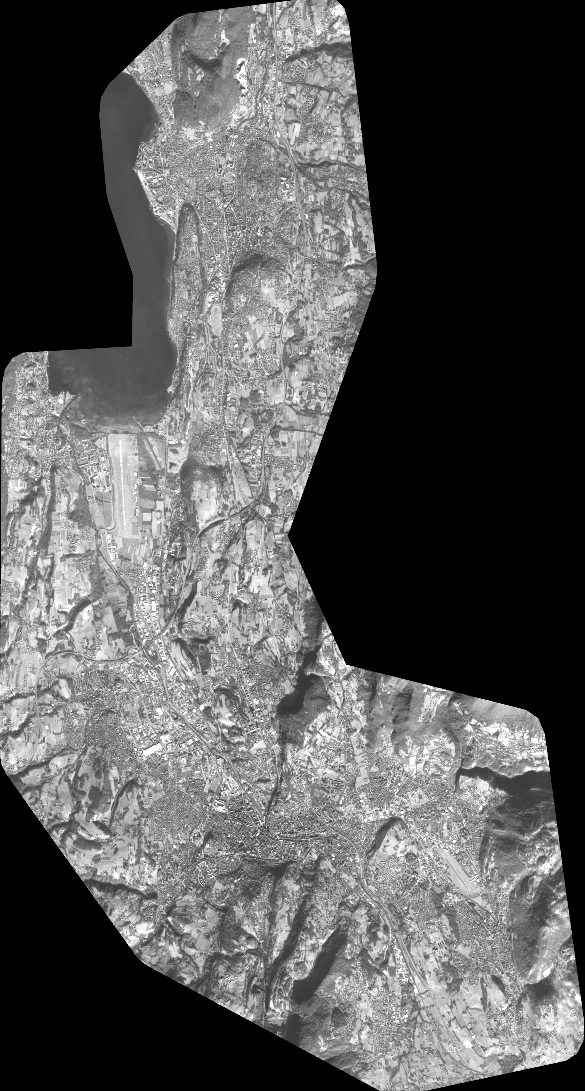
Quicklook
Copyright