TYPE:
SENSOR
LAYER:
DS_PHR1B_202212281040082_FR1_PX_E005N45_1220_02160
FORMAT:
DIMAP
RASTER:
image/jp2
General Information
Map Name
Geometric Processing Level
Radiometric Processing Level
BASIC
Image dimensions
Number of columns
6436
Number of rows
12007
Number of spectral bands
4
Dataset framing
Vertice
Longitude (DEG)
Latitude (DEG)
Row
Col
#1
5.844980255390579
45.73534722179225
1
#2
6.012125237288295
45.7361133934292
#3
6.01209906968101
45.51742473005982
#4
5.845764999983807
45.51718470699444
Dataset sources
PHR
Coordinate Reference System
Projected Coordinate System
Geocoding tables identification
EPSG(6.3)
Production
Production Date
2022-12-28T23:31:23.095
Job identification
6601462101-2
Dataset Producer Identification
AIRBUS DS GEO
Producer link
http://www.geo-airbusds.com
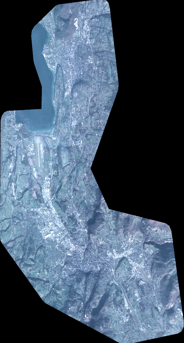
Quicklook
Copyright