TYPE:
SENSOR
LAYER:
DS_PHR1B_202212281040438_FR1_PX_E005N43_0916_01904
FORMAT:
DIMAP
RASTER:
image/jp2
General Information
Map Name
Geometric Processing Level
Radiometric Processing Level
BASIC
Image dimensions
Number of columns
35885
Number of rows
42249
Number of spectral bands
1
Dataset framing
Vertice
Longitude (DEG)
Latitude (DEG)
Row
Col
#1
5.570126958399065
43.57576679482865
#2
5.794746449451448
43.5749087268831
#3
5.794570189798065
43.38225265584553
#4
5.570503021396121
43.38322226821439
Dataset sources
PHR
Coordinate Reference System
Projected Coordinate System
Geocoding tables identification
EPSG(6.3)
Production
Production Date
2022-12-29T14:25:22.773
Job identification
6602185101-1
Dataset Producer Identification
AIRBUS DS GEO
Producer link
http://www.geo-airbusds.com
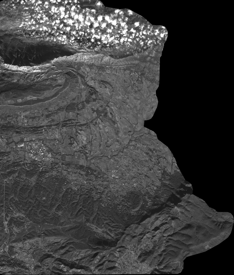
Quicklook
Copyright