TYPE:
SENSOR
LAYER:
DS_PHR1B_202212281040438_FR1_PX_E005N43_0916_01904
FORMAT:
DIMAP
RASTER:
image/jp2
General Information
Map Name
Geometric Processing Level
Radiometric Processing Level
BASIC
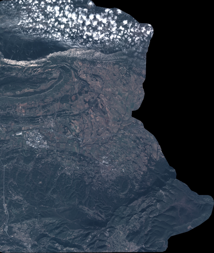
Image dimensions
Number of columns
8972
Number of rows
10562
Number of spectral bands
4
Dataset framing
Vertice
Longitude (DEG)
Latitude (DEG)
Row
Col
#1
5.570135450250752
43.5757547971932
1
#2
5.794754861729064
43.5748976086087
#3
5.794578899753256
43.38225829591366
#4
5.570511720488008
43.38322686408631
Dataset sources
PHR
Coordinate Reference System
Projected Coordinate System
Geocoding tables identification
EPSG(6.3)
Production
Production Date
2022-12-29T14:24:52.682
Job identification
6602185101-2
Dataset Producer Identification
AIRBUS DS GEO
Producer link
http://www.geo-airbusds.com
Quicklook
Copyright