TYPE:
SENSOR
LAYER:
DS_PHR1B_202212281040053_FR1_PX_E005N45_1220_01804
FORMAT:
DIMAP
RASTER:
image/jp2
General Information
Map Name
Geometric Processing Level
Radiometric Processing Level
BASIC
Image dimensions
Number of columns
23244
Number of rows
40038
Number of spectral bands
1
Dataset framing
Vertice
Longitude (DEG)
Latitude (DEG)
Row
Col
#1
5.901758368794443
45.91484489748654
#2
6.05319597609526
45.91532680315761
#3
6.052619630893689
45.73411849879
#4
5.901721775668807
45.73310676660096
Dataset sources
PHR
Coordinate Reference System
Projected Coordinate System
Geocoding tables identification
EPSG(6.3)
Production
Production Date
2022-12-28T23:29:55.899
Job identification
6601461101-1
Dataset Producer Identification
AIRBUS DS GEO
Producer link
http://www.geo-airbusds.com
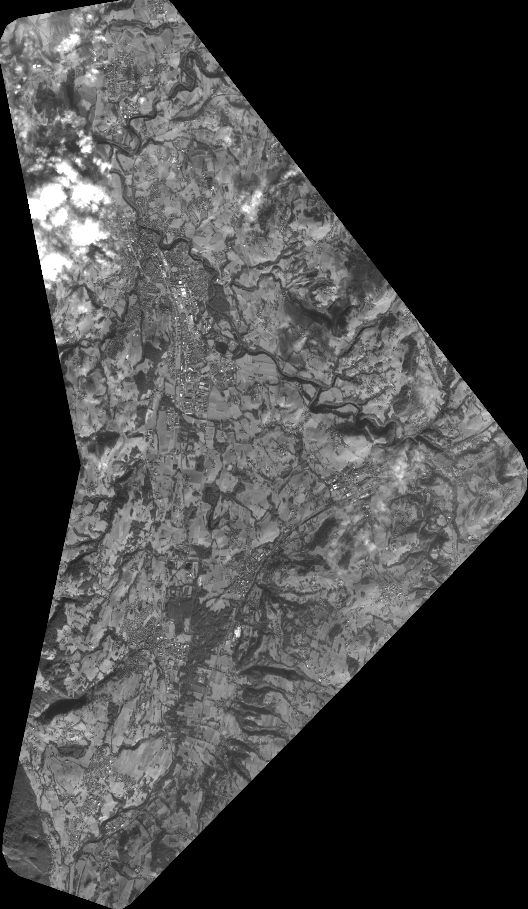
Quicklook
Copyright