TYPE:
SENSOR
LAYER:
DS_PHR1B_202212281040053_FR1_PX_E005N45_1220_01804
FORMAT:
DIMAP
RASTER:
image/jp2
General Information
Map Name
Geometric Processing Level
Radiometric Processing Level
BASIC
Image dimensions
Number of columns
5812
Number of rows
10011
Number of spectral bands
4
Dataset framing
Vertice
Longitude (DEG)
Latitude (DEG)
Row
Col
#1
5.901754682237327
45.91483907869412
1
#2
6.053198725123051
45.91531662955287
#3
6.052622151242124
45.73409989183501
#4
5.901717830136306
45.73309227210564
Dataset sources
PHR
Coordinate Reference System
Projected Coordinate System
Geocoding tables identification
EPSG(6.3)
Production
Production Date
2022-12-28T23:29:40.398
Job identification
6601461101-2
Dataset Producer Identification
AIRBUS DS GEO
Producer link
http://www.geo-airbusds.com
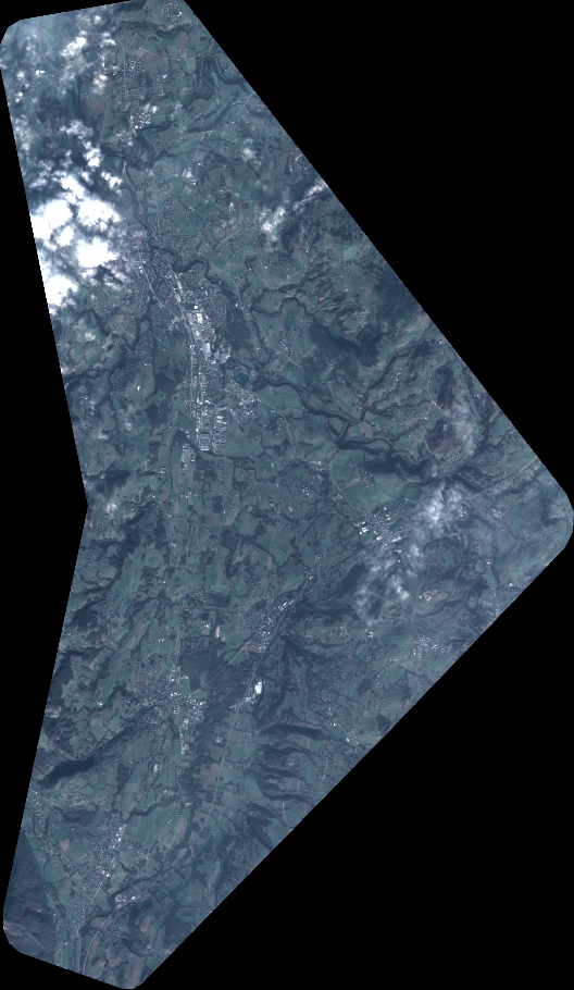
Quicklook
Copyright