TYPE:
SENSOR
LAYER:
DS_PHR1B_202212281041293_FR1_PX_E005N43_0613_03880
FORMAT:
DIMAP
RASTER:
image/jp2
General Information
Map Name
Geometric Processing Level
Radiometric Processing Level
BASIC
Image dimensions
Number of columns
9715
Number of rows
21654
Number of spectral bands
4
Dataset framing
Vertice
Longitude (DEG)
Latitude (DEG)
Row
Col
#1
5.350853300268112
43.57805099125736
1
#2
5.606252772136182
43.58603615183925
#3
5.605364035879
43.15893128475621
#4
5.350514876698322
43.15171792077941
Dataset sources
PHR
Coordinate Reference System
Projected Coordinate System
Geocoding tables identification
EPSG(6.3)
Production
Production Date
2022-12-28T23:39:15.714
Job identification
6601465101-2
Dataset Producer Identification
AIRBUS DS GEO
Producer link
http://www.geo-airbusds.com
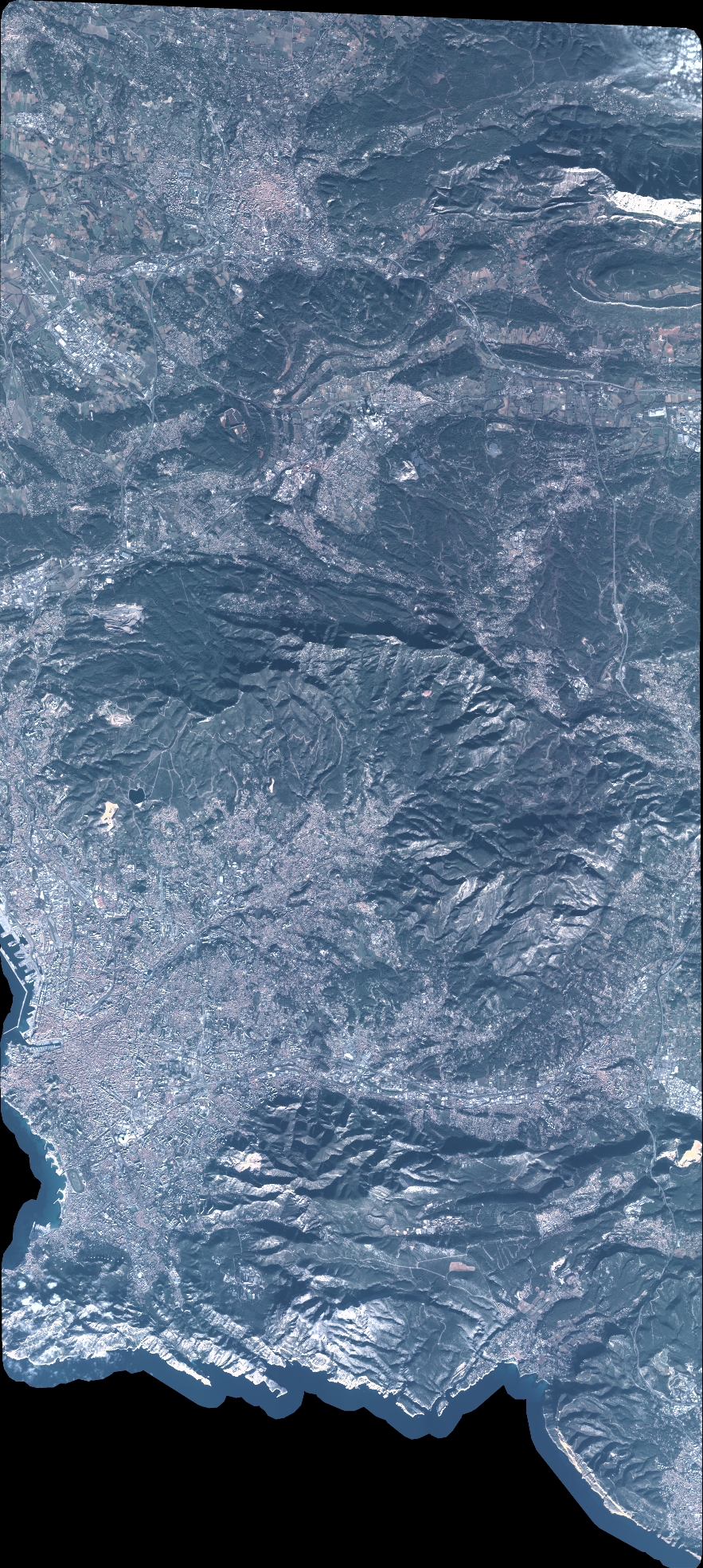
Quicklook
Copyright