TYPE:
SENSOR
LAYER:
DS_PHR1A_202212271048552_FR1_PX_E005N43_0118_01019
FORMAT:
DIMAP
RASTER:
image/jp2
General Information
Map Name
Geometric Processing Level
Radiometric Processing Level
BASIC
Image dimensions
Number of columns
7371
Number of rows
5599
Number of spectral bands
4
Dataset framing
Vertice
Longitude (DEG)
Latitude (DEG)
Row
Col
#1
4.980091760560884
43.42117586118184
1
#2
5.173008034172792
43.42107845795927
#3
5.172061040637812
43.3181979584226
#4
4.979191076733808
43.31883895402755
Dataset sources
PHR
Coordinate Reference System
Projected Coordinate System
Geocoding tables identification
EPSG(6.3)
Production
Production Date
2022-12-27T23:39:25.322
Job identification
6600669101-2
Dataset Producer Identification
AIRBUS DS GEO
Producer link
http://www.geo-airbusds.com
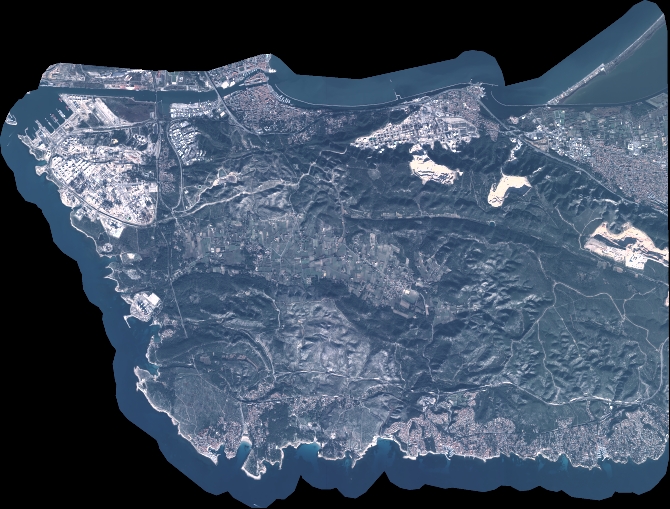
Quicklook
Copyright