TYPE:
SENSOR
LAYER:
DS_PHR1A_202212271048308_FR1_PX_E005N43_0412_05252
FORMAT:
DIMAP
RASTER:
image/jp2
General Information
Map Name
Geometric Processing Level
Radiometric Processing Level
BASIC
Image dimensions
Number of columns
39175
Number of rows
117664
Number of spectral bands
1
Dataset framing
Vertice
Longitude (DEG)
Latitude (DEG)
Row
Col
#1
5.133481839294691
43.75835729864826
#2
5.389266936768468
43.7533248770026
#3
5.390002714144923
43.20028842984517
#4
5.133422594208769
43.20904201614225
Dataset sources
PHR
Coordinate Reference System
Projected Coordinate System
Geocoding tables identification
EPSG(6.3)
Production
Production Date
2022-12-27T23:50:59.870
Job identification
6600667101-1
Dataset Producer Identification
AIRBUS DS GEO
Producer link
http://www.geo-airbusds.com
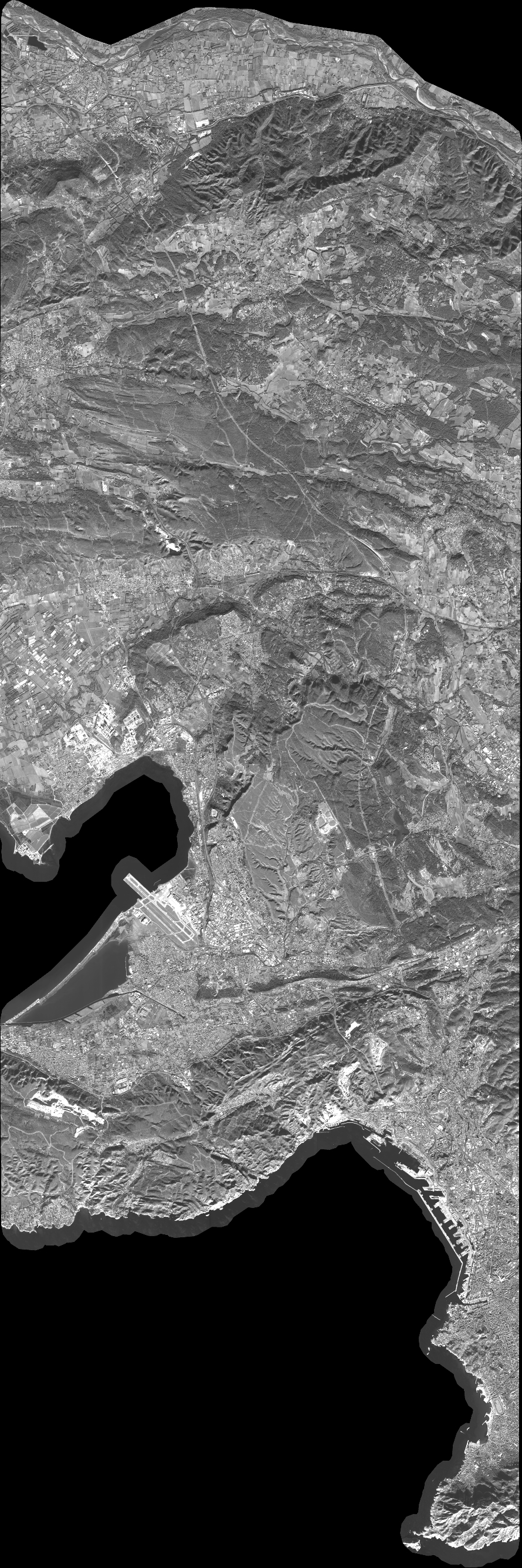
Quicklook
Copyright