TYPE:
SENSOR
LAYER:
DS_PHR1A_202212271048308_FR1_PX_E005N43_0412_05252
FORMAT:
DIMAP
RASTER:
image/jp2
General Information
Map Name
Geometric Processing Level
Radiometric Processing Level
BASIC
Image dimensions
Number of columns
9795
Number of rows
29416
Number of spectral bands
4
Dataset framing
Vertice
Longitude (DEG)
Latitude (DEG)
Row
Col
#1
5.133490146932575
43.75834741319291
1
#2
5.389289715937814
43.75331450848583
#3
5.390025274527201
43.20028956635663
#4
5.13343185334261
43.20904301039717
Dataset sources
PHR
Coordinate Reference System
Projected Coordinate System
Geocoding tables identification
EPSG(6.3)
Production
Production Date
2022-12-27T23:49:26.658
Job identification
6600667101-2
Dataset Producer Identification
AIRBUS DS GEO
Producer link
http://www.geo-airbusds.com
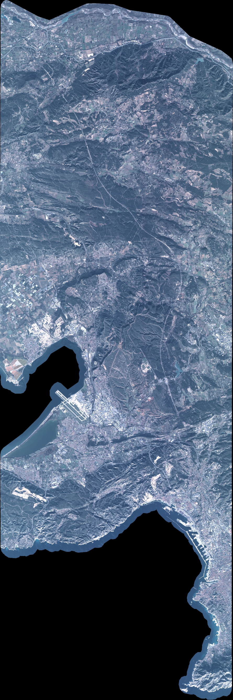
Quicklook
Copyright